Goals
The iGoM project is a focused effort to build a comprehensive geophysical model of the Gulf of Mexico region. The primary objective of iGoM is to produce a regional synthesis and geodynamic understanding of the deep crustal structure, magmatic history, and basin evolution.
Igneous Rocks
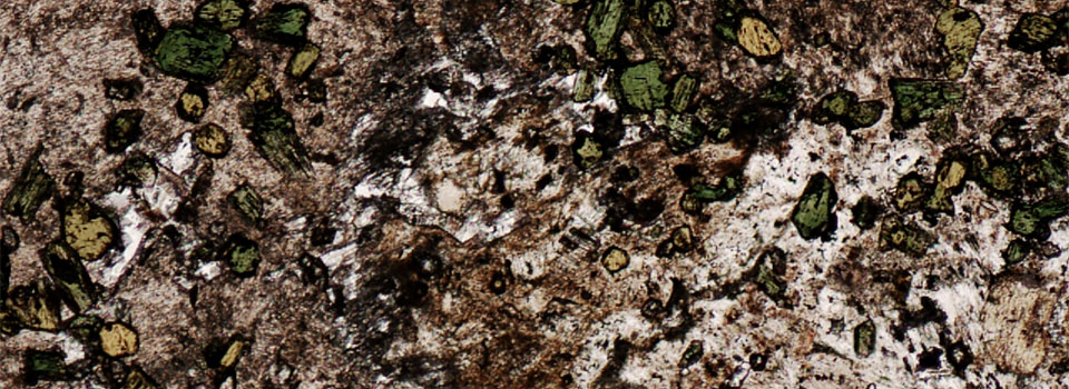
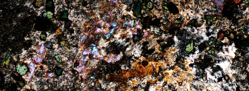
- Analyze outcrop and well samples of extrusive and intrusive rocks to interpret their origin and infer possible types of crustal compositions, as well as the role of Cretaceous volcanism in the evolution of the basin.
Basin Architecture
- Integrate and interpret seismic reflection, seismic refraction, and well data to map the basin geometry and to identify important sedimentary rock horizons and lithologic units such as carbonates and salt.
- Generate a set of 2D gravity and magnetic models, coincident with seismic interpretations and also controlled by seismic refraction and well data, to estimate thickness and possible composition changes of the crystalline crust.
Basin Evolution
- Evaluate existing evolutionary models constrained by iGoM findings.
- Propose a new geodynamic model that best fits rock types, basin morphology, crustal structure, and timing constraints for the Gulf of Mexico basin – from onshore Triassic basins to offshore Pio-Pleistocene salt nappes.
Objectives
- Acquire, process, integrate, and interpret a broad range of geophysical and geological data (outcrop and well samples, well log, reflection and refraction seismic, gravity, magnetic, earthquake tomography, etc.) for an equally broad range of analyses from outcrop to crust and upper mantle.
- Sample surface and subsurface igneous rocks from the Gulf region and analyze their trace element and isotopic signatures to constrain volume, timing and mantle/crustal sources.
- Generate geophysical models to support a regional basin evolution model, such as potential fields, thermal and geodynamic, to test and establish basin, crustal, and upper mantle geometries and rock properties.
- Triassic rifting: study the nature of precursor crust following the Appalachia/Ouachita Orogen and possible connections to early Central Atlantic extension, and map the extent and thickness of rift zones and attenuated continental crust.
- Jurassic rift-to-drift and seafloor spreading: test seafloor spreading models, and understand the crustal morphology and its relationship to the early salt and carbonate deposition as well as subsequent prograding sand systems.
- Cretaceous: analyze and map the Gulf Coast igneous bodies and related crustal structures, especially between ~100-70 Ma, investigate the effect these events had on surrounding sedimentary formations, and model the rapid deepening of the basin.
- Cenozoic to Recent: determine isostatic effects from loading, has tectonic and igneous activity ceased?
Data
- Seismic reflection: ION-GXT has joined the consortium as an in-kind participant. They have provided us with the Gulfspan Merge2 survey (on- & offshore)
- Seismic refraction: numerous experiments in the region are available from published sources.
- Wells: DrillingInfo has joined the consortium as an in-kind participant.
- Cores and outcrops: planned field trips and sample requests from facilities such as the BEG.
- Gravity and magnetics: open-file data are available online.
- Thermal: open-file data are available online.
- Acquisition: new data, such as gravity, magnetics and thermal, can be acquired as needed.

